Alternatives
Bozeman is changing, growing before our eyes. The edge of town moves almost daily; you can see it, and also hear it in the sound of nail guns on the frames of countless new buildings. The whole place is vibrant, moving, exciting, and alive. Says me. Others say it is crowded, noisy, and ruined. I suppose it is all of the above and more, depending on one’s point of view. But mostly, it is home.
Yet there are times, even for me… when I have an appointment on the other side of town in less than fifteen minutes; when my favorite pizza place becomes everyone’s favorite, and I spend more time on the sidewalk than inside. Where I am most aware of the crowd, though, is at outdoor recreation areas. For an old, retired guy, timing usually works to avoid too many people: go early, late, or during working hours, and avoid weekends. Still, it is nice to have choices; locate a few places that have not yet been discovered, or create strategies for using the old standbys differently. Alternatives.
The M is the quintessential Bozeman hike. There are several great trails, the flora changes its tone almost weekly, and the views are stunning. The parking is more than adequate during a January blizzard. The rest of the time, not so much. The construction of the Drinking Horse trail across the road, along with its more spacious parking, was a great idea. The tunnel that passes under the highway, an even better one. These improvements eased the pressure for a number of years. But the popularity of both trails has become overwhelming. There are a lot of entities involved. Possibly, the Forest Service, the State of Montana, the County, and GVLT have a plan for more parking to be implemented soon.
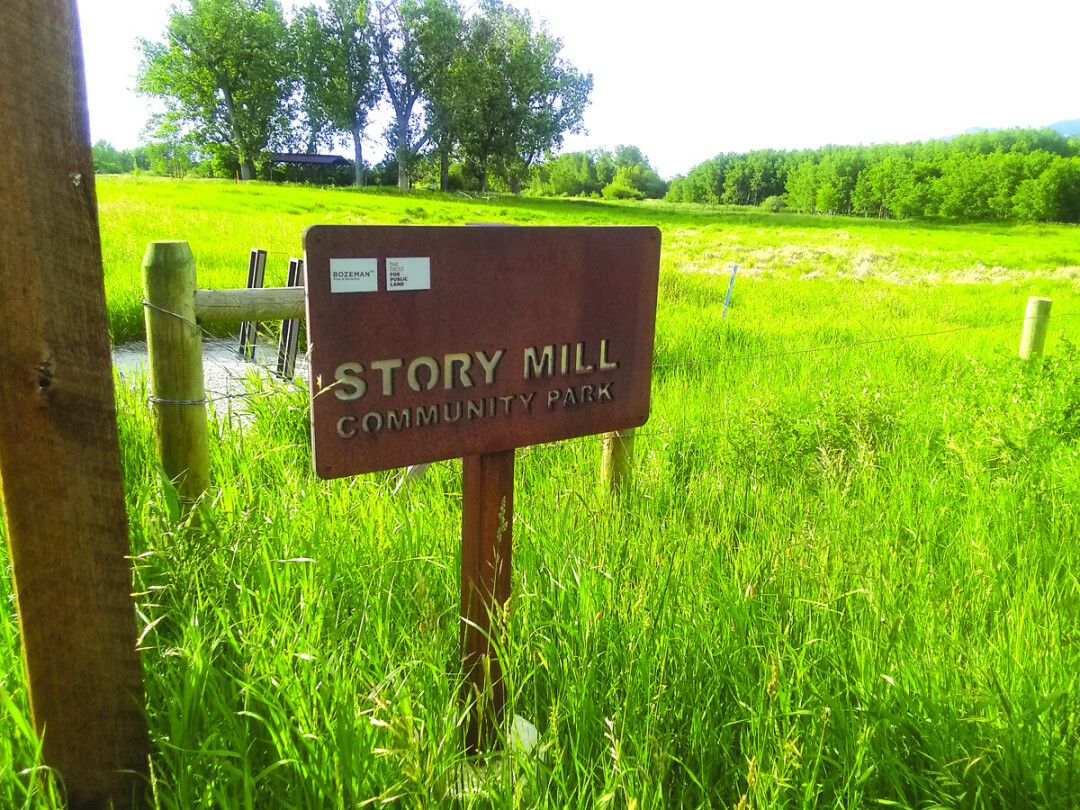
The ‘right now’ solution is the black ribbon of the bike trail from town to the M. Completed a few years ago, it stretches two miles from Story Mill Park to the M lot, crossing the highway at a safe spot with a light, and crossing Bridger Creek on a scenic, sturdy bridge. At the parking lot, ignore the jumble of vehicles, lock your bike to the rack and begin your hike. Of course, by varying your starting point, it is possible to put together any variation of hiking and biking miles for an outing. This strategy provides a double workout, and leaves the rest of the day open to rewarding pursuits such as cloud gazing, or reading enlightening articles in Bozeman Magazine.
There are three M trails, usually referred to as easy, regular, and steep. (Please stay on them; shortcuts are unsightly and interfere with the business of flowers.) Crowds on the trails are fine—it is hard to find a grumpy hiker. But if solitude is a desire, take the easy trail to its big bend to the south and forgo the M, walking instead on the Foothills trail that winds up the range. This trail lasts for twenty miles, so go as far as you want; most everyone else will turn toward the M. Since we are on the west side of the Bridgers, it is worth noting the rest of the trailheads that work their way to the north: Sypes Canyon; Middle Cottonwood; Truman Gulch; Corbley, and North Cottonwood. Each trail is different, and they are all scenic. And the farther they are from town, the less traffic they receive. So keep drivin’ for that solitude.
The best place around Bozeman to experience the high mountain environment is the trail to the summit of Sacajawea Peak. The parking at Fairy Lake is spacious, and the mountain is huge enough to make a lot of people seem like a few. But if alone is what you desire, try the hike to Ross Pass and on up to Ross Peak. The drive is shorter, the approach a bit less. The last time I was there I thought I saw another person, but it turned out to be a signpost.
In Hyalite Canyon, the main trails are Mount Blackmore, Hyalite Lake, and Emerald Lake. On a summer afternoon all are busy with hikers, mountain bikers, and horseback parties. Just before the Emerald Lake parking area, there is a little turnout across the road from a nondescript trail. The sign used to say East Fork Divide, but someone tore it down. An old road for some distance, it then climbs steeply up the slope along a rushing creek that features several beautiful small waterfalls. After two and-a-half miles, the trail tops out on the East Hyalite Ridge, with views of Paradise Valley and the Absarokas. I have never seen another person on this trail.
The premier hike in Gallatin Canyon is Lava Lake. Parking is very limited; gotta be there very early, or pretty late. The alternative is to park on the other side of the river and walk across the 35 mph bridge with traffic. I have done this—and have decided to not do it again. Other choices include Hellroaring Creek, Indian Ridge, or several trails up Storm Castle Creek. None of these possess the drama of walking up to the shore of Lava Lake, yet each trail has its own charm.
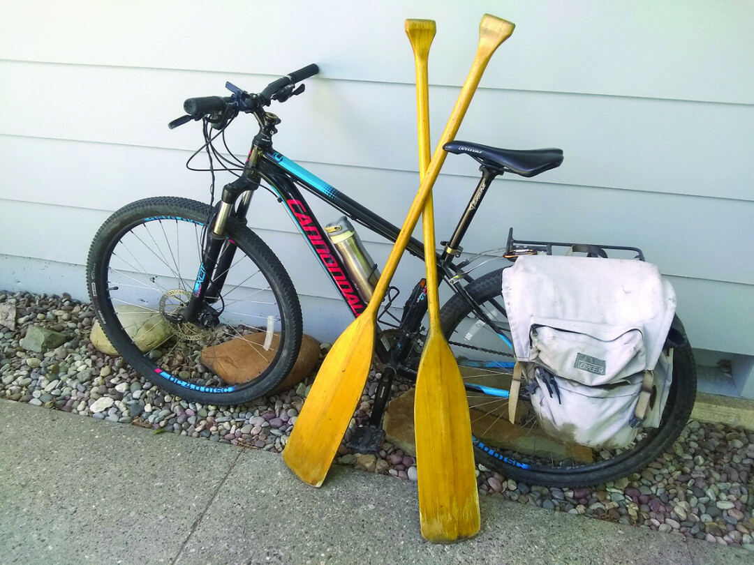
Bozeman is bike-friendly. Many motorists are bikers themselves, and most drivers are used to bikes on our streets. Still, constant caution is necessary, especially in roundabouts. These constructs are a relatively new technology, and require patience and consistency. Overall, biking is a great alternative to motoring around town. My strategy is to use streets with bike lanes whenever possible, and streets with minimal traffic. I also use streets with access to the extensive trail system throughout town. Once on a trail, it is important to remember that, as a biker, you are now the dominant person and must be aware of walkers, joggers, baby strollers, etc. As in almost any encounter, patience and courtesy are the watchwords.
Water activities reflect congestion more than most of the rest of our outdoor pursuits. Hyalite Reservoir, Canyon Ferry, or Hebgen Lake are long drives. In Bozeman, the choices are limited: the Bozeman Pond Park near the Mall, Glen Lake Rotary Park (formerly East Gallatin Recreation Area), or the Gallatin Regional Park. All of these offer beaches and swimming. I believe the most rewarding experience is to show up with a paddle, accompanied by a canoe, kayak or standup board. You may not feel like Lewis or Clark, but there is something about dipping a paddle in a lake that brings an immediate calmness, it is possible to slip away from sand and splashes out into weedy coves and quiet water. For those who have not yet visited, the Gallatin County Regional Park is a gem. Located north of Oak Street on the west side of Bozeman, it is huge (87 acres). It has two lakes, many trails, a beach, playground equipment, climbing boulders, and more. The park has the space to absorb lots of people engaged in a variety of activities.
Another newer park is Story Mill. It has all the usual facilities with plenty of room; for me, the best part is the nature center. This section features bridges over the East Gallatin River, birding areas, a dog park, and a wildlife pond. It is made up of meadows of native grasses and towering cottonwoods, with both meandering and loop trails. Bikes are fine, and the trails within provide a link between the trail to downtown and the bicycle trail to the M.
As I said, things around here are changing. For me, progressing. As in most things, patience, adaptability, and the realization that we are all in it together are the keys. It can be frustrating when an exercise routine is disrupted by crowds and overuse. Always have some backup choices. Drive or bike farther than usual, and find a deserted place to walk around. If possible, break the routine of the city. Make it a habit to get out of town into the varied alpine and river country all around us. These are the Rocky Mountains! That alone will keep you smiling and headed in the right direction. Over that next hill.


