MSU water experts receive NASA grant for calibration of new satellite that will aid in remapping flood-ravaged Yellowstone River
BOZEMAN – Two Montana State University experts are preparing to contribute to remapping a portion of the Yellowstone River that was dramatically affected by last June’s devastating floods, while practicing techniques they will use to help calibrate a new NASA satellite designed to continuously monitor most of Earth’s surface water.
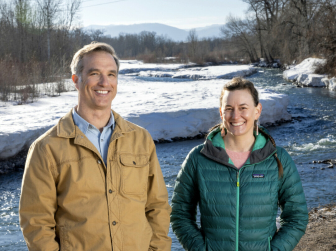
A team led by Eric Sproles, assistant professor in MSU’s Department of Earth Sciences, and Katey Plymesser, assistant professor in the Department of Civil Engineering, will float portions of the Yellowstone River between Livingston and Yankee Jim Canyon this spring and early summer to map the depth of the river and measure its velocity in 10 to 15 locations. They will use their data to calculate streamflows, thereby working with state and federal agencies to once again provide accurate, real-time streamflow and discharge information on the approximately 30-mile stretch of waterway.
“The Yellowstone’s channel has changed markedly since the floods,” Sproles said. “This information will verify streamflow estimates for the Yellowstone River and also collect baseline information on the shape of the river channel.”
It’s the sort of data people in the United States take for granted, he added, because the U.S. Geological Survey continually measures streamflows and posts current conditions online.
“That’s not the case in other parts of the world,” Sproles said.
But that’s about to change, thanks to NASA’s new SWOT, or Surface Water and Ocean Topography, satellite. SWOT was launched into orbit in December 2022, outfitted with instruments to collect measurements from nearly all of Earth’s lakes, rivers, reservoirs and oceans at least once every 21 days. According to NASA, the data will help scientists improve ocean circulation models, make better weather and climate predictions, and aid in the management of water around the world.
Before that can happen, the instruments aboard the satellite need to be precisely calibrated with the help of five U.S. universities, including MSU. Under a recently awarded $600,000 NASA grant, the MSU team – the only one assigned to South America – will collect high-fidelity field data on two Chilean rivers as SWOT passes overhead and takes its own measurements. The data sets will be compared, and the information from the ground team will be used to dial in the satellite’s accuracy.
NASA currently is conducting an initial series of checks on the satellite’s hardware and instruments to be sure everything is operating properly before the calibration effort begins. While that is happening, Sproles, Plymesser and partners from the Universidad Austral de Chile in Valdivia will practice their techniques on the Yellowstone.
“I think early relationship-building will be important,” Plymesser said. “We will be relying on our Chilean partners to collect data when we are not present.”
MSU’s work for NASA will begin this June and July, which is the height of winter in the southern hemisphere. The team will float the Rio Petrohue and Rio Valdivia, using a high-accuracy GPS tool to measure the elevation of the water’s surface. A Doppler radar on the raft will collect information about the shape of the rivers’ channels, and – as they will have practiced on the Yellowstone – team members will measure the velocity of the water at different points, enabling calculation of total streamflow.
“When the SWOT satellite passes over, we want detailed measurements of water surface elevation and flow rate,” Sproles said.
Plymesser, who has measured streamflow and river discharge rates on numerous projects in the past, will apply her hydraulics expertise in the field. Sproles, a geographic analyst who focuses on snow and water resources, will oversee the satellite aspects of the project and verify the results.
Sproles believes the data from SWOT could help reduce contention in parts of the world where a lack of information or data-sharing leads to disputes over water rights or management. Helping communities around the world access adequate water is one of the goals of the SWOT program, according to NASA.
“SWOT data will be used to monitor drought conditions and improve flood forecasts, providing essential information to water management agencies, disaster preparedness agencies, universities, civil engineers and others who need to track water in their local areas,” a NASA project website states.
MSU will use the grant funding for equipment, travel and to support stipends and tuition for two graduate students.
The SWOT mission is a collaborative effort by NASA and the space agency of France, with contributions from the space agencies of Canada and the United Kingdom.