Ross Pass & Peak
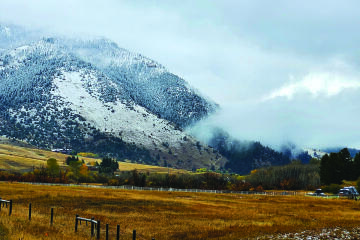
The Bridger Mountains mark the eastern boundary of the Gallatin Valley. The range forms a wall that rises four thousand feet above the plains. Though the Bridgers reach farther both to the north and south, the central high peaks are continuous from Bridger Creek in the south to Flathead Pass in the north, a span of more than twenty-five miles. The mountains do look like a great wall except for one anomaly; Ross Pass and the rocky horn of Ross Peak just to the north.
Ross Peak is just different. The pass is a broad, grassy, inviting meadow a thousand feet lower than the ridge to the south. The peak rises 1200 feet back up to the north. The angle of the peak is almost crossways to the rest of the ridge. It is fan-shaped and appears as a sharp horn from the east. To its north, broken cliffs and slopes extend to the highest peaks of the range; Sacajawea and beyond. Further research reveals interesting geologic facts. Ross Pass is not simply an anomaly in the sight line, it is the location of a major fault in the range. This fault originated well over a billion years ago, long before the mountains were formed. It was also active in the Paleozoic era about 300 million years ago, and shows differences in the thickness of sedimentary rock on either side. Later, shallow seas covered most of the Northern Rockies, depositing thick sediments of limestone, dolomite, shale and sandstone; these formed the mountains when the uplifts occurred around 45 million years ago. Subsequently, the erosion that formed the mountains we see today deposited sediments all over eastern Montana.
The timeframe described in these geologic studies is incomprehensible, at least to me. It is like hiking to the bottom of the Grand Canyon, where each mile of descent represents so many hundred million years. Each footstep spans more years than recorded history has described. Back to the billions. Precambrian rocks, some of the oldest on the planet, are exposed on Ross Pass. Could these be found? Can the Pass Fault be viewed? It would sure be worth the hike to find out.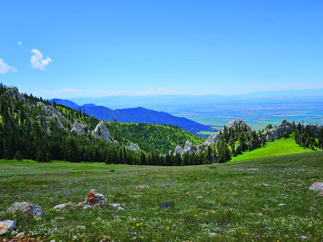
My experience with the Ross Pass and Peak area was less than that of the rest of the main Bridger Range. My wife Ruth and I had climbed Ross Peak with a friend in the late 70’s. Seems like it took us several tries because of weather and late starts. From that time on, Ross Pass was a barrier to walk around on various hikes and ridge runs, a pleasant meadow on the way back up to the main Ridge.
As I drove out of Bozeman on an early summer morning five summers ago with my son, Scott, it seemed a good omen that the sky was clear. We had been enveloped in smoke for a solid month. Fires in Montana, Oregon, California, even Siberia, had contributed to conditions that were frustrating and unhealthy. Heading up Bridger Canyon, it was great to see the forest and the peaks. The trailhead for Ross Pass is the south fork of Brackett Creek. We had skied this road many times but had only driven it once or twice. I was not certain how far up I could make it. There was a trailhead two miles up. I had definitely never driven past that point, but from there on, the road was much improved. There was logging in progress, so I had the benefit of their better-graded road but the chance of encountering a logging truck. That did not happen either up or down, so it was a fine drive and put me at the upper trailhead just a couple of miles from Ross Pass.
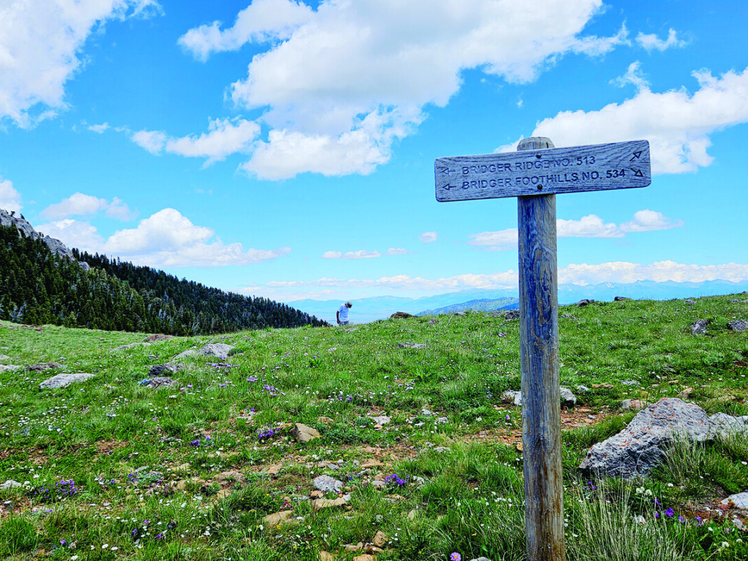
There was no one at the pass when I arrived an hour or so later, yet it had the feel of a busy place. It marks the intersection of several trails; three north and three south. To the southeast, the trail from the south fork of Brackett Creek that I had just walked; straight south, the trail up to the Bridger Ridge (which is the continuance of the Ridge Run), and southwest, the National Scenic Foothills Trail. To the northeast, a trail headed around Ross Peak to cross the farther forks of Brackett Creek and eventually reach Fairy Lake through the hills. Another led directly toward Ross Peak with a spur soon leading around the peak to the south. This was the northern merging of the Foothills trail and the Ridge trail.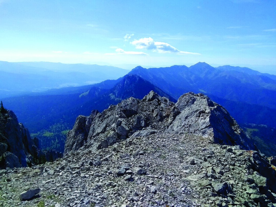
Prior to the hike I had checked Google Earth. The Bridger Range seemed to follow its same northwest to southeast route, but at Ross Peak it was different. The rock strata on the peak made a hard turn to the east. From the south the ridge turned west. Ross Pass appeared to be a gap in the middle of these changes. Was this the Pass Fault... maybe, how would I know? Well, I would not. I had neglected to bring along a geologist. I was on a pass with mountains and rock towers all around. For that matter, I had had some idea of finding ancient rocks. How? I can identify limestone, granite, shale, sandstone, a few others. I can tell dirt from sand. I have climbed, scrambled, and hiked on rocks for fifty years. That makes me old; all of the rocks are somewhat older. Once again, I was the victim of my armchair optimism. In addition to ignorance, I was dealing with the wind. At the saddle it roared continuously, and gusts knocked me sideways when I stood still. It was time to move rather than contemplate. So I decided to make my second ascent of Ross Peak, forty or so years after my first.
The walk up from the pass to the base of the peak was pleasant; the wind even let up somewhat when the trail wound behind an outcropping. Soon, the route entered a steep gully filled with talus. The trail helped. After an ascent of hundreds of feet, the cairns and faint trail guided me west up a few more ravines. Then there were a few false summits and some enjoyable scrambling. The summit is the second to last rounded tower to the west. At the top, I peered to the north and thought about another quest.
When he conceived of the Ridge Run, Ed Anaker had wanted the start to be at Flathead Pass. That would have made the course over 26 miles, marathon distance. Cooler heads convinced him that beginning at Fairy Lake would be difficult enough. It Is. Once the trail gains the Sacajawea saddle, it follows the ridge all the way to the ‘M,’ except for going around Ross Peak. Even Ed would have not expected anyone to traverse that portion of the ridge over Ross Peak. For that section, the Ridge Run follows the National Scenic Foothills trail. Ross Peak is not a run, it is a rock climb. The north face has several classic bolted routes.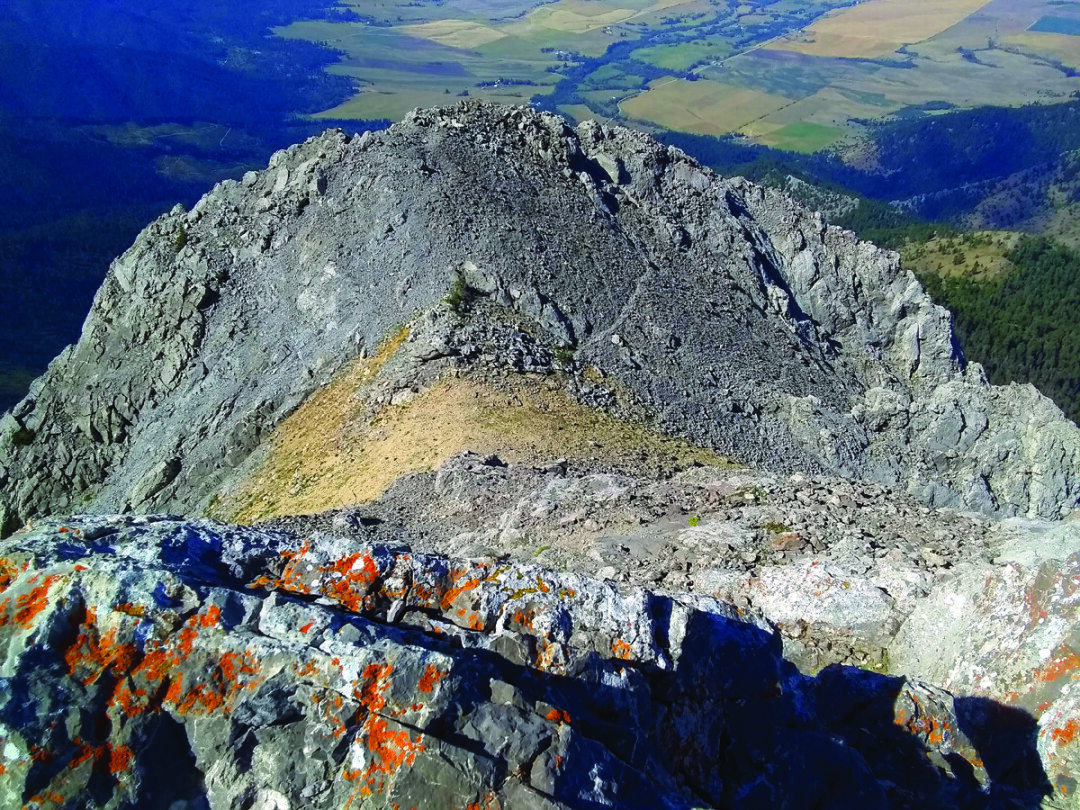
We wondered if a traverse of the peak was possible. To follow the ridge from Naya Nuki to Ross, summit the peak from that side and descend to the saddle. My son Scott talked to a climber who had been up some of the north face routes. He asked if there was a scramble way [to go] up from the north. Scott ended up with one of those bar napkin treasure maps that has long since been misplaced. To me, from the summit it looked possible but not simple. On Google Earth it also looks doable but that is more recliner reconnaissance—something to try another day.
I descended the peak in my older climber’s manner. That is, while I still love climbing and scrambling up, I now dread the down climbs, chiefly the loose stuff. Thus, it takes me just a bit longer to come down a peak than it does to go up. Better a slow go than a baddish go, to use a Scottish saying. At the saddle it was only 1:00 p.m. Time enough to traverse the pass and head up the other side. There is a trail back to the ridge now. In earlier years, Ridge Runners and others simply charged straight up the slope. At one spot it became steep enough that someone had tied a rope that could be ascended hand over hand. Thankfully, that is gone and the trail, though severe, is much preferred. An hour up and another down got me back to the saddle. There are at least two trails remaining from there that I have not explored, so I hope to be back.
When I arrived home, soon enough I forgot how completely clueless I had been in the wind, thinking of rocks billions of years old. I decided that it might be possible to find them.
Perhaps a friendly geologist will erect a sign identifying old rocks, maybe even some arrow cairns to point the way. I am fairly certain that locating those ancient stones, even hefting one, would qualify me as a billionaire. Then there is the undone traverse. Better call Scott and give that one a try...